Nautical Charts & Fishing Spots
Explore Campbell River's fishing waters with our interactive map
Interactive Fishing Map
Click on markers to learn about each fishing spot. Toggle between nautical chart and satellite views. Our prime fishing locations are marked with descriptions.
Our Fishing Hot Spots
The Hump
Underwater fish magnet near Cape Mudge. Chinook & Halibut.
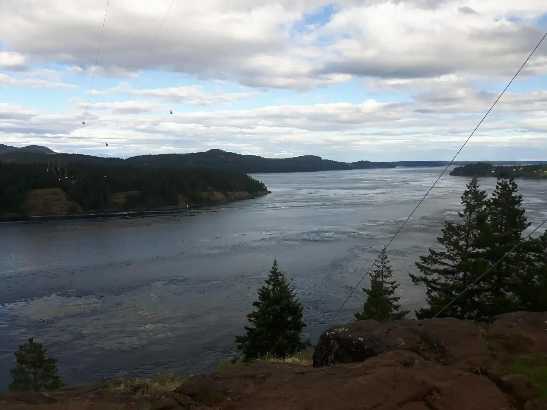
Seymour Narrows
Massive salmon concentrations. Fish on slack tide only!
Cape Mudge Lighthouse
Prime Chinook fishing grounds with strong tidal currents.
Discovery Pier
Public fishing pier in downtown. Great for casting jigs & spoons.
Chart Features
- Nautical chart overlay
- Satellite imagery toggle
- Fishing spot markers
- Click markers for details
Fishing Areas
- Discovery Passage
- Cape Mudge & The Hump
- Quadra Island waters
- Seymour Narrows
How to Use
- Drag to pan around
- Scroll or pinch to zoom
- Click markers for info
- Use layer control (top right)
Charts for Simrad GO7, Lowrance & B&G
Navigation charts covering Campbell River, Discovery Passage, Vancouver Island and BC coastal waters for your Simrad GO7, Lowrance, or B&G chartplotter.
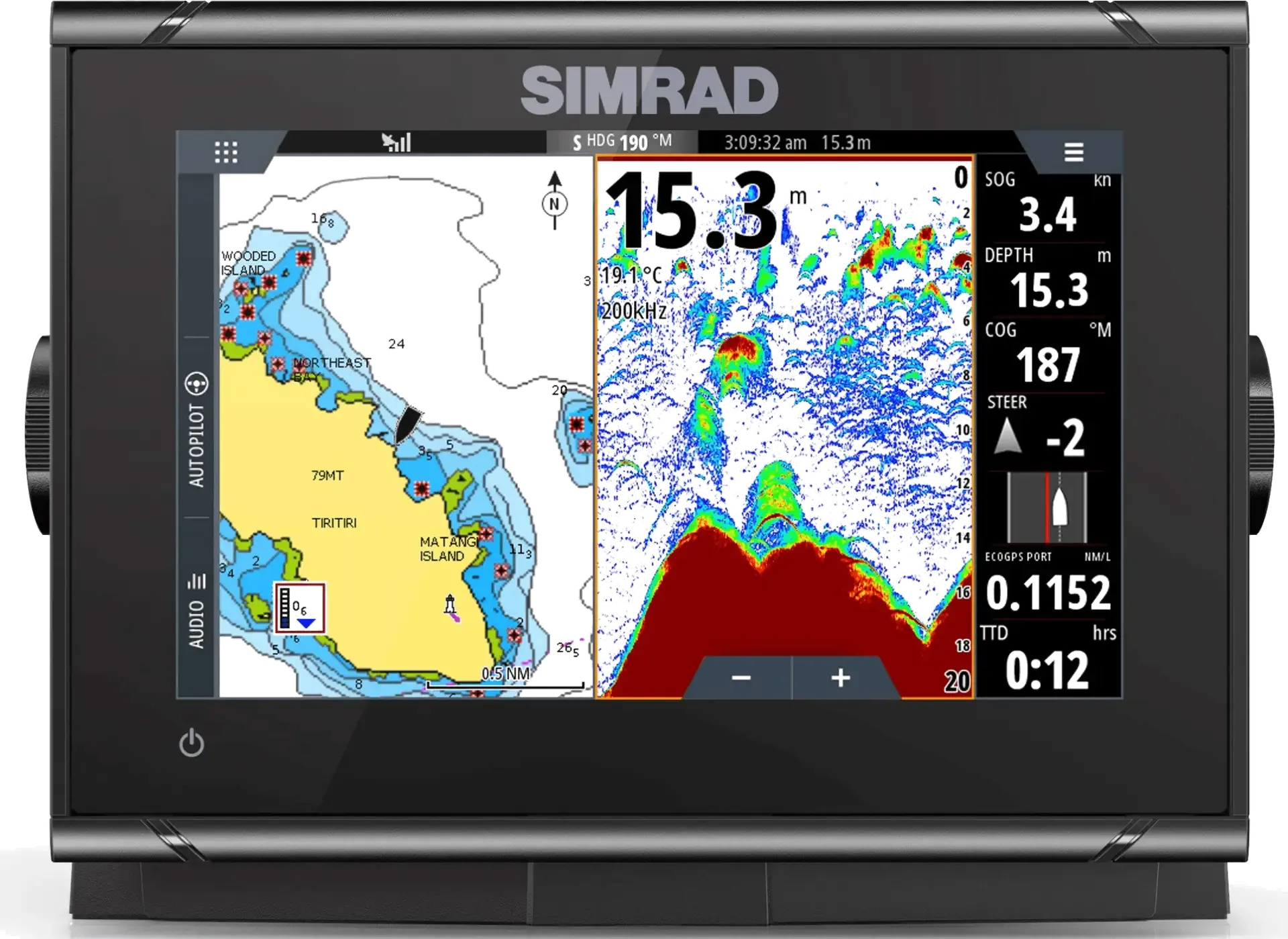
Interactive Campbell River fishing chart on Simrad GO7 XSE
C-MAP Reveal Coastal
British Columbia & Puget Sound
- • Full BC coast coverage
- • Vancouver Island & Campbell River
- • HD seafloor imagery
- • Auto-routing included
- • 12 months free updates
Navionics+ Canada & Alaska
US013R Chart Card
- • Pacific & Atlantic coasts
- • Vancouver Island detailed
- • Inland lakes & waterways
- • Community edits & updates
- • SonarChart HD bathymetry
OpenSeaMap AT5
Free Community Charts
- • Free download
- • Global seamarks data
- • Updated twice monthly
- • Supplements official charts
- • SD card installation
Compatible Devices
- • Simrad: GO7 XSE/XSR, NSS, NSO, GO Series
- • Lowrance: Elite-7, Elite-5, HDS Gen2/Gen3
- • B&G: Zeus Touch, Vulcan Series
Installation
Insert the microSD chart card into your plotter's card slot. Charts load automatically. For AT5 free charts, extract ZIP files to SD card root and select "Insight" or "OpenSeaMap" in the chart menu.
About Our Waters
Campbell River sits at the confluence of Discovery Passage and the Strait of Georgia, creating one of the world's best salmon fishing destinations. The strong tidal currents and nutrient-rich waters attract massive runs of Chinook (King) salmon, along with Coho, Pink, Chum, and Sockeye.
Our fishing grounds span from the calm waters around Discovery Harbour Marina to the productive waters of Cape Mudge and beyond. Captain Jason knows every reef, ledge, and drop-off where the big fish hold.
Ready to Fish These Waters?
Book your charter and experience Campbell River's legendary fishing!
Book a Charter